


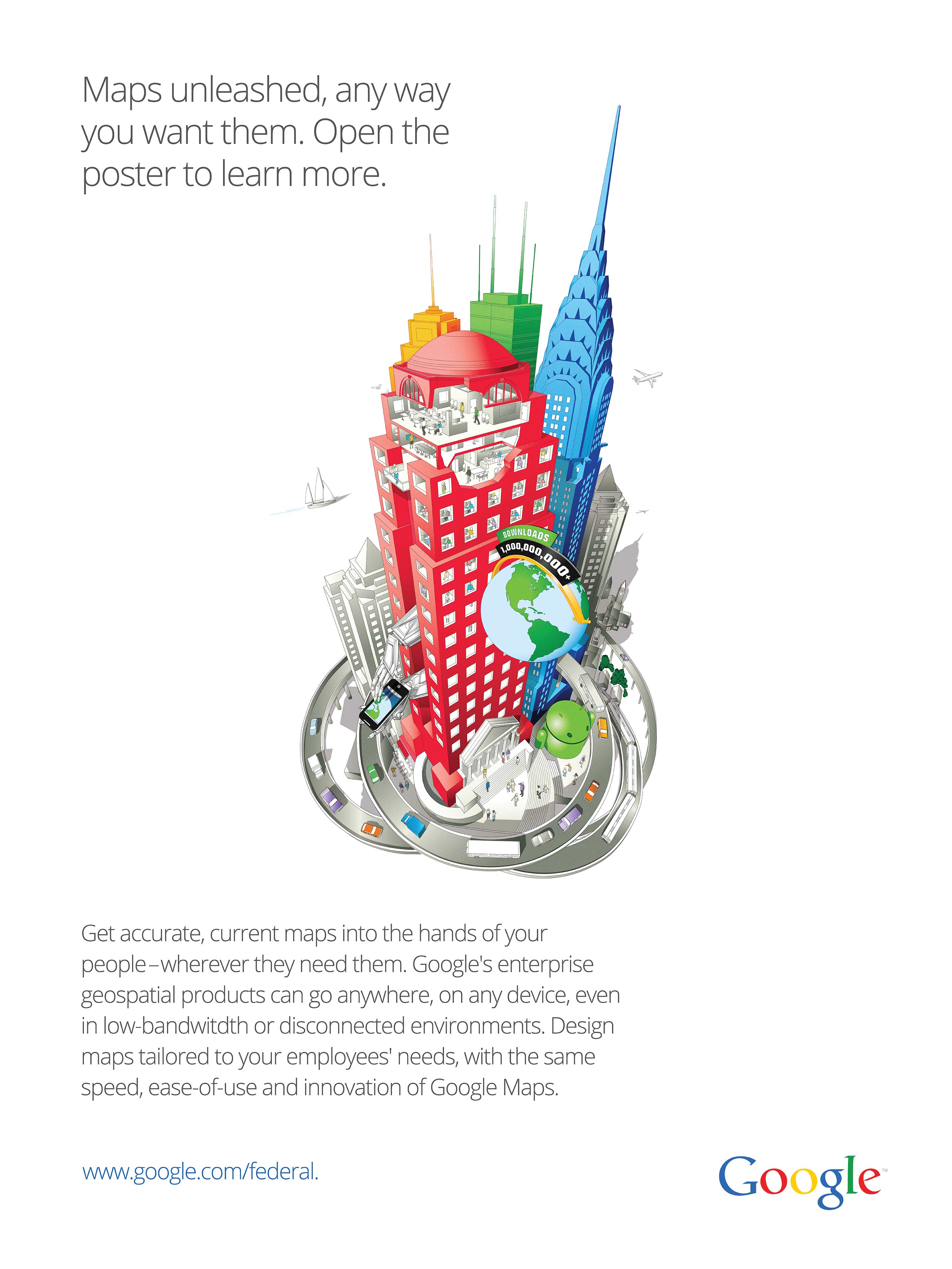
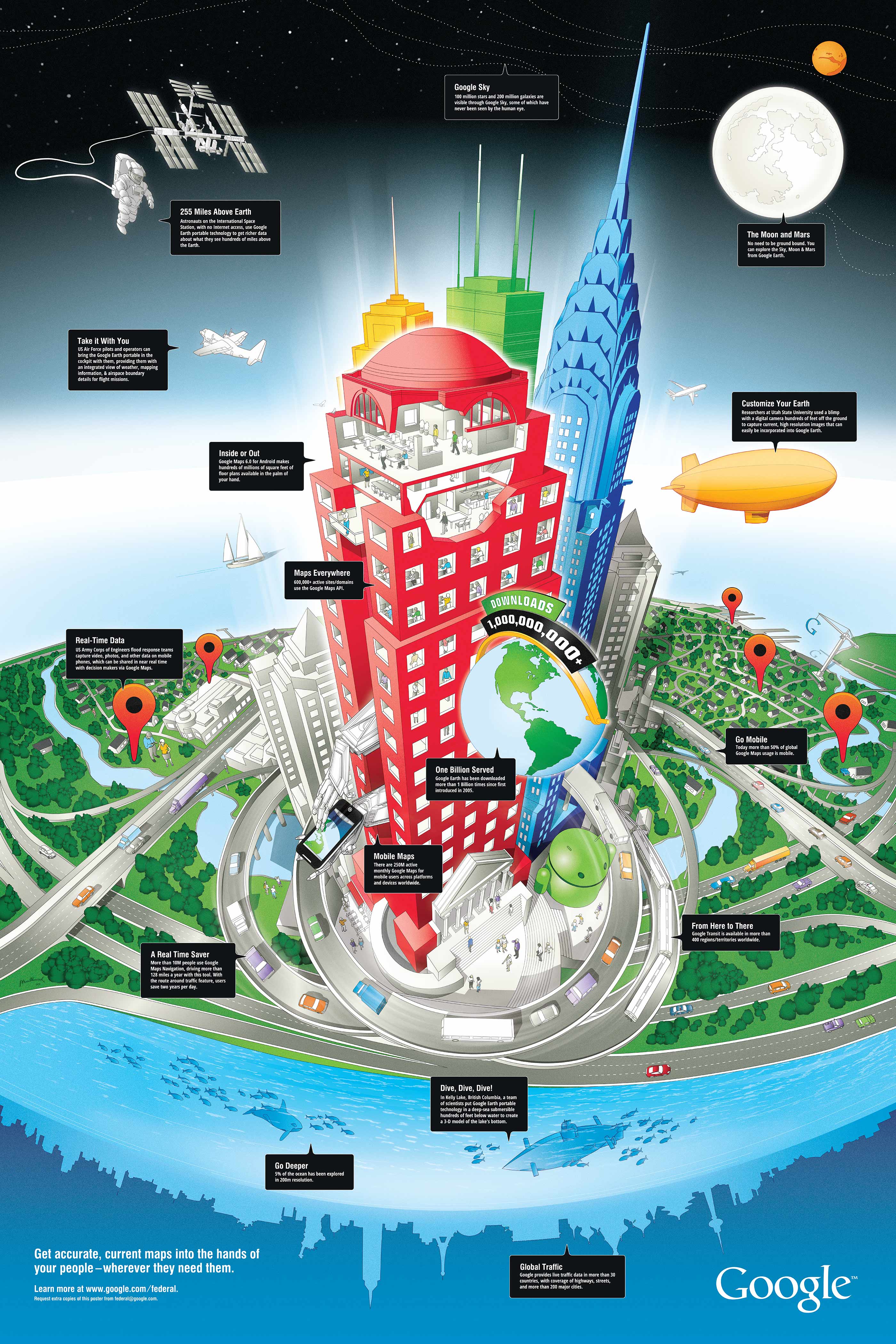
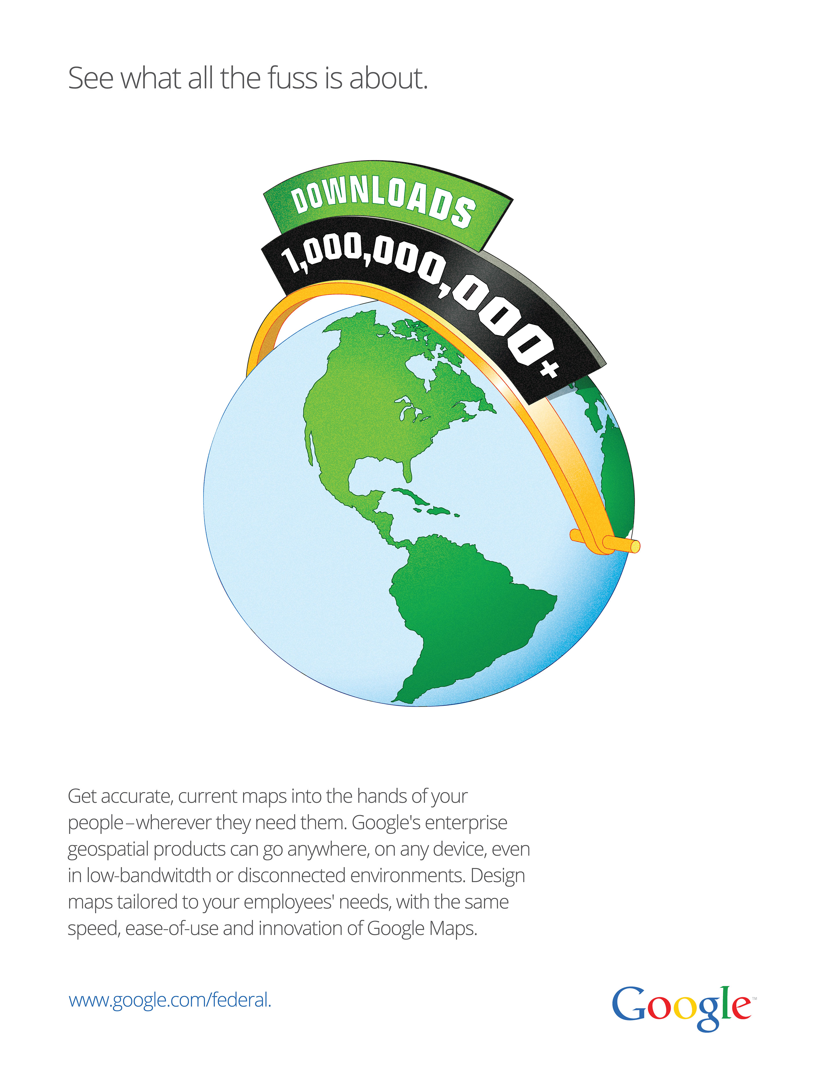
Working with BlueText, I designed and illustrated this 20×30 folded poster magazine insert for Google to promote their geo-applications to both consumer and federal audiences. As an infographic, it highlights how both Google Earth and Maps can be utilized in real-world applications. At the time of publication, 2012, Google Earth surpassed 1 billion downloads—a major highlight for the company and a highlight in the advertisements.
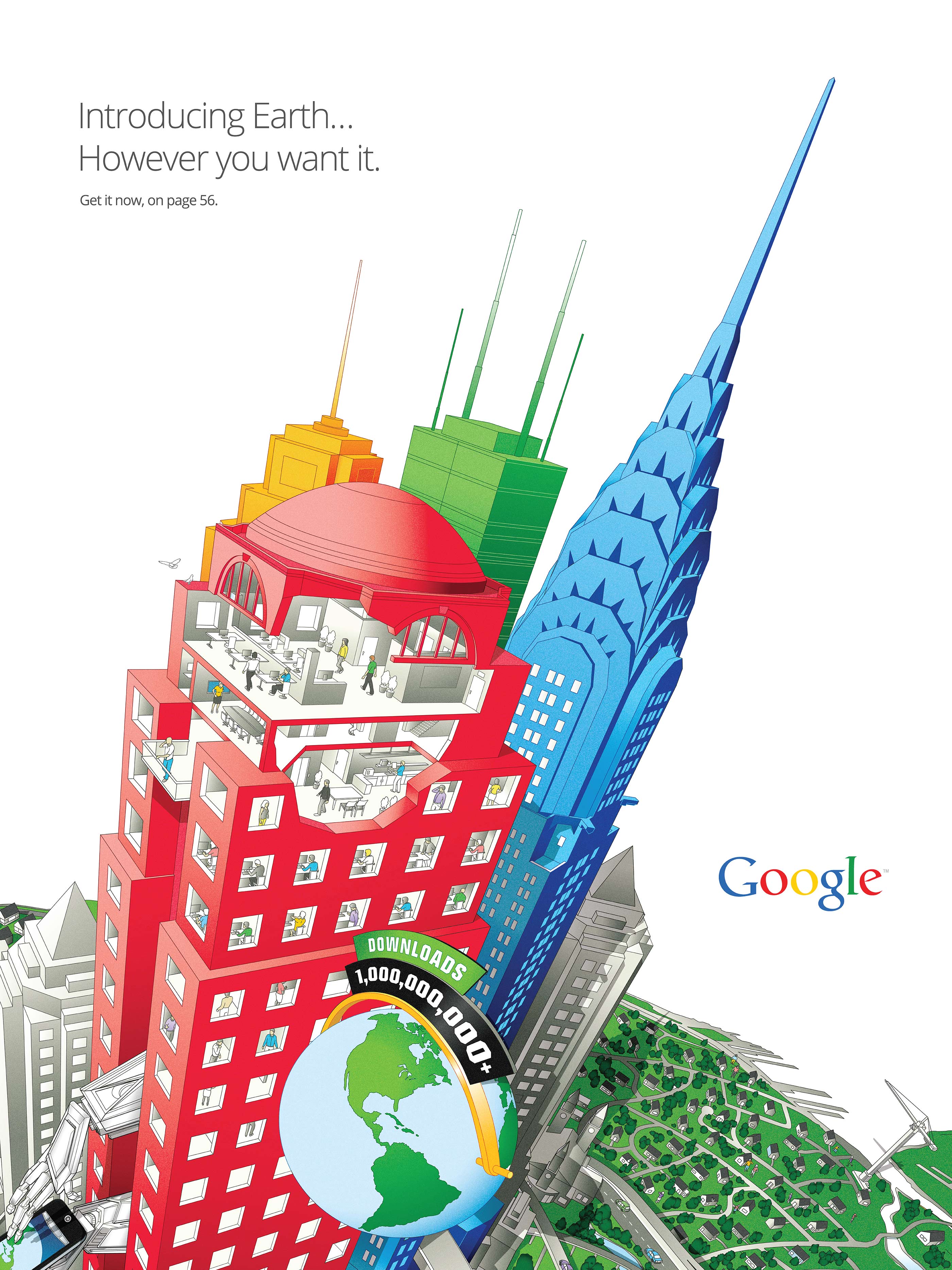
Several ads preceded the poster insert, pointing to the poster placed in the centerfold. One of the ads was printed on the back of the poster, which helped introduce the infographic and drive home key points about Google’s geospatial products.
DESIGN PROCESS
Google Maps and Google SketchUp were used to ‘rough out’ the composition, and it was used to establish the perspective and shadows. Using the rough rendering as a reference, I began drawing the core outlines of the piece. As the copy changed, so did the composition. I had to adapt parts to include new subjects. After getting approval on the main outlines, and the final copy done, the coloring process began. Several color styles were developed using Google’s brand colors. The client wanted the poster to look dimensional, so gradients and glow effects were used to add depth. I then added the copy to the poster. And once I had final approval, I prepared the print mechanicals.